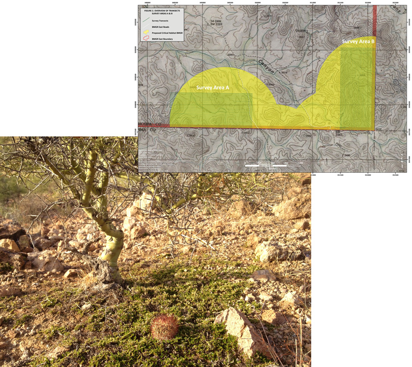
Harris Environmental developed a habitat model to assist Luke AFB’s Barry M. Goldwater Range (BMGR) Range Management in identifying suitable habitat for Acuña cactus, an endangered species, on the installation. This model was based on a composite overlay of soils and natural communities data, as well as elevation contours derived from a 10 meter digital elevation model, and identifies areas of High, Moderate and Low suitability for species within BMGR East. The specific variables selected were based on previously known Acuña cactus locations on BMGR East and adjacent lands as well as locations documented during the 2012 survey effort. Using 10 meter (33-foot) elevation contours, the soil/vegetation composite was divided into three categories identifying high, moderate and low suitability. The elevation within the composite considered to be within suitable habitat for the species ranged from 400 meters (1,312 feet) to 1,070 meters (3,510 feet) AMSL (the most inclusive elevation range for the species is listed as 400 to 1,200 meters [3,937 feet]. As the elevation for Acuña cactus documented within BMGR East ranged from approximately 710 to 780 meters, and other areas also surveyed in the vicinity of these locations fell above and below these values, an elevation range of 700 to 800 meters was selected to delineate areas of high suitability.
Copyright © 2025. Harris Environmental. All Rights Reserved.
Website by Leslie Evans & Salmagundi Design Studio